Beta
Neighborhood guide
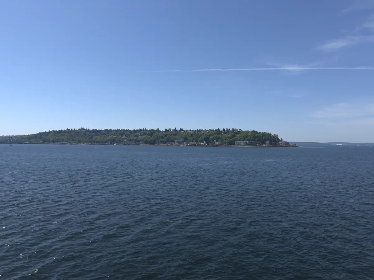
West Seattle
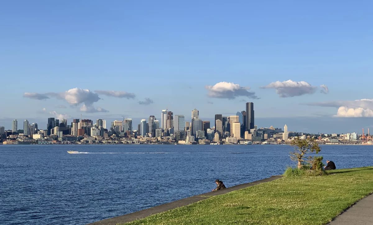
West Seattle is the peninsula across Elliott Bay — the place locals go for the sunset shot looking back at the city skyline. Take the King County Water Taxi from Pier 50 (10 minutes, $5.75) to skip the bridge entirely. Alki Beach has 2.5 miles of walkable shoreline; the West Seattle Junction has the neighborhood main street with shops, bars, and the original Easy Street Records.
Local travel notes
0
No higher-severity West Seattle travel notes are standing out right now.
Latest local update
No recent West Seattle-specific travel timestamp is available right now.
Best next check
Use Alerts if bridge or ferry movement matters more than one West Seattle-specific note.
Live neighborhood context
No West Seattle-specific travel notes are standing out right now. Use Alerts if the broader bridge, ferry, or peninsula route matters more than one local note.
Upcoming neighborhood events
Getting around
West Seattle feels different from the rest of the city because bridges, peninsular geography, and ferry access shape most trips.
What people come here for
Alki Beach (the picture of the skyline back at the city), the Water Taxi from downtown, sunset at Constellation Park or Lincoln Park, and the Junction main street with the original Easy Street Records.
Useful Seattle.net context
Citywide alerts and quick live conditions help most when bridge traffic, ferry timing, or broader weather conditions might affect the trip.
Getting around
Plan around the bridge and ferry — longer travel times than map distances suggest from downtown.
- Bridge conditions can change the easiest route quickly.
- Fauntleroy ferry context matters for some peninsula trips.
- Getting in and out often matters as much as what you do once you arrive.
What people usually want here
Two clear plays: take the Water Taxi over for an Alki afternoon and the skyline-sunset photo, or drive over for a long Lincoln Park walk plus dinner at the Junction.
- Water Taxi from Pier 50 → Seacrest Park (10 min, $5.75) — drops you a 5-minute walk from Alki Beach.
- Alki Beach + Statue of Liberty replica + skyline view — the postcard angle of Seattle is from here.
- The Junction (California Ave SW) — Easy Street Records, Husky Deli (since 1932), West Seattle Brewing.
Bridge, ferry, beach, and city basics
The useful move is to pair neighborhood browsing with citywide conditions instead of pretending there is a dedicated live West Seattle operations panel.
- Check Alerts before you go if bridge or ferry travel matters.
- Use Now for a quick city snapshot before heading west.
- Use Services if the trip is really about permits, bills, or city errands.
Nearby neighborhoods